
Watershed Maps
Printed watershed maps available
Purchase Water-Repellent Maps of the Pierce Pond Watershed
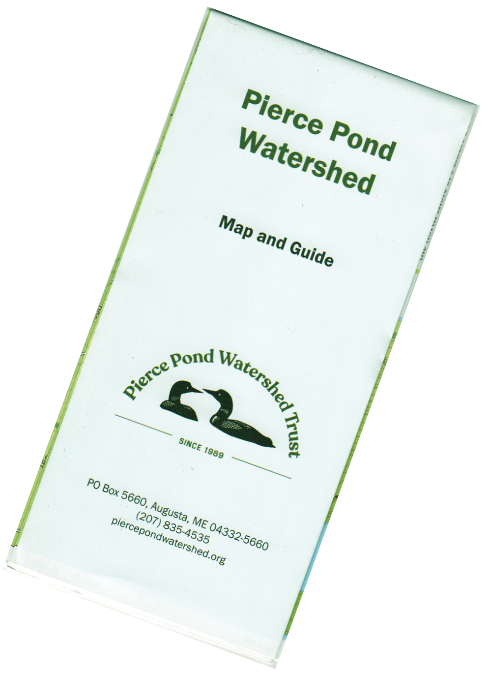
Folded Map
These high-contrast, easy-to-read 16” x 23” maps were created in 2022 with GIS mapping software. They include updated water depths and land elevations; camping and picnic sites; hiking trails, access trails, and trailheads; scenic overlooks, boat launches, roads and more. The back side of the map provides descriptions and enlarged maps of watershed hiking trails. The maps are printed on water-resistant paper and folded to a convenient 8” x 3.75” size.
“Where can I get one?” you are probably wondering. Maps cost $15 each and can be purchased using the order button below.

Printed Map front

Printed Map Back
Watershed Land-ownership map
The map below shows land ownership in the Pierce Pond watershed (this map is not available as a printed map).